
Prairie Village Neighbor Records
No single public roll lists everyone on a Prairie Village block. Johnson County AIMS defines parcels and spatial relationships. Tax cards provide assessed owners. Election records answer limited voter and precinct questions, while associations describe a community layer rather than current household membership.
| Source | What it shows about a block | Access |
|---|---|---|
| AIMS parcel map | Adjacent lots, addresses, parcel IDs, streets, zoning, districts | Free public map |
| County tax card | Owner, mailing address, situs, legal description, values | Free property portal |
| Register or KORA map | Land records or a measured buffer dataset | Terminal or written request |
| Voter and precinct records | Polling place, precinct, and lawfully released voter fields | VoterView or paid file request |
| Homes associations | Boundaries, board contacts, minutes, covenants, events | City or association sites |
| Police face sheet | Lawfully public incident facts tied to an address and date | Records Unit request |
The block table distinguishes geography from identity. An owner name is public property context. It is not proof of an occupant, family link, or current resident.
Map Prairie Village Neighbors in AIMS
AIMS can search by address, parcel, owner, ZIP, neighborhood, subdivision, city, legal description, and several other geographic keys. Turn on parcel outlines and address points, then zoom until all four sides of the target block are clear. Clicking a nearby polygon exposes the parcel key needed for the tax record.
- Search the known street address and choose its matching parcel.
- Turn on parcels, address points, streets, subdivisions, and city boundaries.
- Click each adjoining polygon and save its parcel ID and situs address.
- Use the buffer tool only when a measured radius answers the question.
- Open each chosen parcel in the county tax search and keep situs separate from mailing address.
Call lots “adjacent,” “same block,” or “within 200 feet” according to the map operation. Do not call every point a neighbor. A measured label makes the result repeatable and avoids suggesting a personal tie that the data does not show.
Prairie Village Adjacent Parcel View
An official AIMS parcel print illustrates the fields available after a map click. It includes situs, parcel and tax IDs, year built, zoning, neighborhood, city, ZIP, districts, schools, plat, book/page, and an abbreviated legal description.
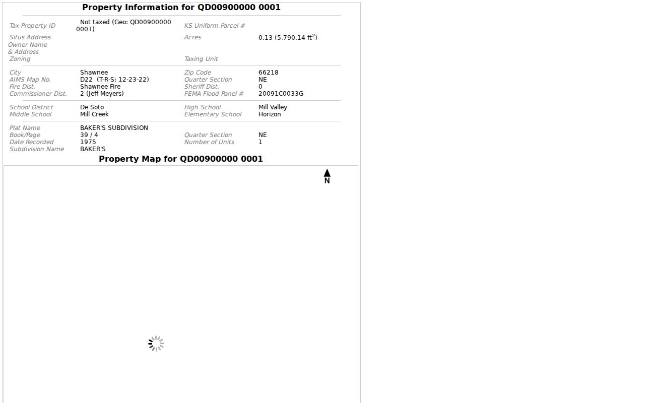
The captured record turns one mapped polygon into a stable parcel key. Repeat that action for selected lots, then verify ownership through the tax card. AIMS cautions that its compiled public data is not a substitute for the primary deed or tax source.
This parcel-first sequence is the key safeguard: address to map, map to parcel ID, parcel ID to tax card, and deed or plat only when needed. It is not map to published list of people.
Prairie Village Blocks by Distance
AIMS provides point, line, circle, rectangle, and polygon tools, plus “Select Parcels in Buffer (feet).” Results can open in a new window. A small measured buffer can define properties near a project, preserve a snapshot of the block, or support a civic records request.
When an official dataset is needed, the Johnson County Register of Deeds can receive a written request under the Kansas Open Records Act process. The research identifies 200-, 500-, and 1,000-foot custom-map examples. Fees follow actual-cost and processing rules rather than a promised flat charge.
A request should name the central parcel, radius, fields, and desired format. Ask for an existing record or a segregable part of one. The county generally provides a written response within three business days, though it may state that more time is needed.
Note: A custom buffer is geographic evidence and still does not establish who occupies any selected home.
Confirm Prairie Village Parcel Owners
The Johnson County property search accepts Quick Reference ID, address, owner name, or business name. A tax card can show owner, mailing address, situs, legal description, parcel and tax IDs, neighborhood, classification, exemptions, assessed and appraised values, and tax history.
Use house number and street name first. County search tips may omit the street type or direction. When the parcel ID is already known from AIMS, it avoids errors caused by similar street names. Preserve the spelling and abbreviations returned by the official record.
| Situs | The physical location of the parcel |
|---|---|
| Mailing address | Where tax correspondence goes, possibly outside Prairie Village |
| Parcel ID | The county key that links map and tax systems |
| Legal description | Lot, block, subdivision, or tract wording used in land records |
Matching mailing and situs addresses may suggest owner occupancy, but it still does not prove a full household. Trusts, estates, and other ownership forms can also appear.
Seven Prairie Village Associations
The city's homes-association inventory names Corinth Hills, Corinth Meadows, Indian Fields, Normandy Square, Prairie Fields, Prairie Hills, and Prairie Ridge. These contacts help identify covenants, board notices, meetings, and local events. No public current member roster was found.
Corinth Area
Corinth Hills and Corinth Meadows have city-listed association routes. Their boundaries are not assumed to match ZIP or plat lines.
Indian Fields and Normandy Square
The city provides association email links, while AIMS parcel samples supply separate plat evidence.
Prairie Fields and Prairie Hills
Prairie Fields uses a community page. Prairie Hills has its own association site.
Prairie Ridge
The city routes Prairie Ridge through the regional Homes Associations of Kansas City resource.
Association contacts are community doors, not resident directories. Ask the board for its public materials and respect any member-only list or private contact rule.
Prairie Village Association History
The Prairie Village Homes Association publishes history, street boundaries, board and meeting material, a ward map, events, and homes-of-the-month features. Kansas legislative testimony dates its incorporation by J.C. Nichols to March 1945 and describes a historical area roughly between 75th and 67th streets and Mission and Nall roads.
The same testimony refers to about 1,700 homes at that historical point. It is not a current membership count. This is a useful example of how a community boundary can predate Prairie Village incorporation in 1951 and differ from a modern postal or voting line.
For neighbor research, use the association boundary to find the right civic group and minutes. Use AIMS for parcels, the Election Office for precincts, and the city for wards. Keeping those layers separate preserves their meaning.
Prairie Village Precinct Neighbors
Kansas VoterView searches a voter by first name, last name, birth date, and CAPTCHA. Its separate polling-place route uses a residential address. It does not publish a free ZIP-wide or block-wide roster. A blank result can reflect spelling, a move, inactive status, matching rules, or a protected address.
The Johnson County precinct maps place Prairie Village precincts within six wards. Precinct codes and boundaries can change, so use the current map for the election year. A ZIP is not a precinct.
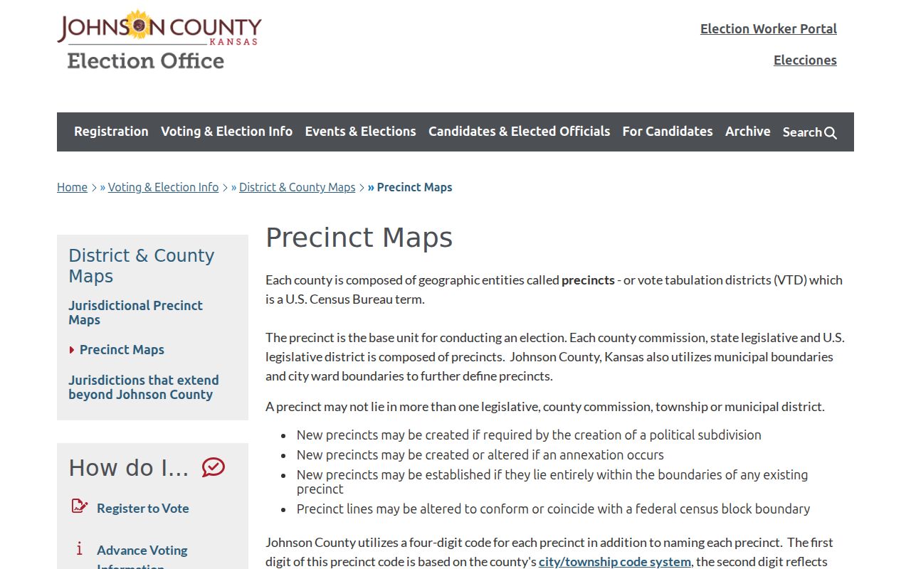
The map image supplies the official route for civic geography. A paid county file request can include released address, precinct, district, party, registration, and voting-history fields, subject to protected identifiers and use limits.
Official Prairie Village Neighbor Sources
Commercial neighbor tools combine data from many places and may be stale, misjoined, or unclear about dates. Official sources are narrower, but each identifies its custodian and the question it can answer. That makes correction and verification possible.
| Source type | Strength | Limit |
|---|---|---|
| Official parcel and tax records | Dated county keys and ownership fields | Owner is not necessarily occupant |
| Official precinct and voter routes | Current civic geography and permitted fields | Protected data is withheld |
| Association material | Local boundaries, meetings, and contacts | Membership is not assumed public |
| Commercial category | May combine several clues | Source, age, and identity quality can be unclear |
Use the official record for the claim it supports. A neighbor lookup should state dates and limits, not turn probable matches into facts.
Prairie Village Block Incident Records
Permit, code, and police records add events to an address trail. Prairie Village uses OpenGov for permits and inspections, but the live portal could not be fully inspected during research. A city records request is the fallback for a known address, date range, permit, or code matter.
The Prairie Village Police Records Unit provides a separate request route and describes public face-sheet access. General city requests do not erase law-enforcement exemptions. Ask for a defined address, incident date, and record type rather than a broad list of households.
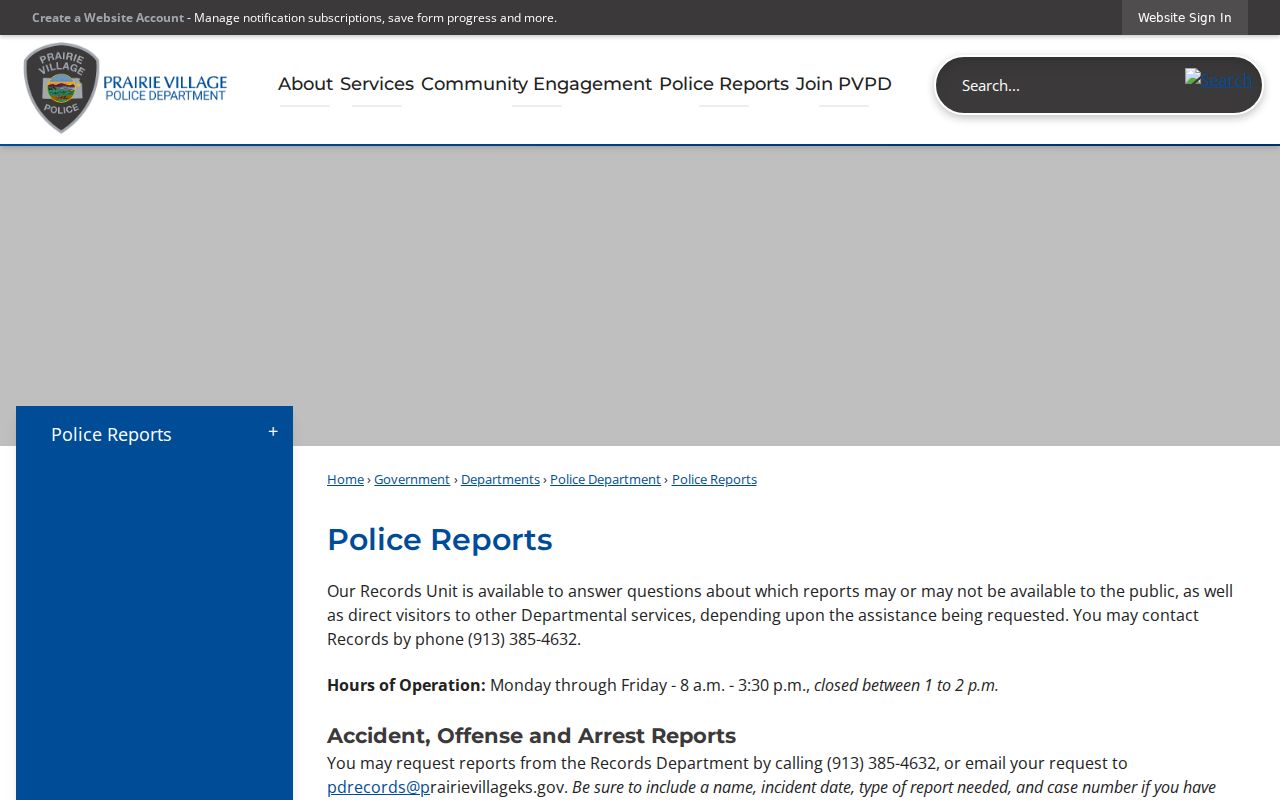
The captured page shows the custodian route for police material. Incident information is not proof that an owner, occupant, or nearby resident committed an offense.
Protect Prairie Village Neighbors
Kansas law withholds sensitive voter identifiers, restricts several court and vital-record categories, and bars prohibited commercial use of names and addresses obtained from public records. Kansas Safe at Home can provide a substitute address and mail forwarding for qualifying survivors. Certain officials may also request address restrictions under a 2026 law.
A missing or substitute address may be an intentional safeguard. Do not try to reverse it through parcel, voter, map, or association data. Keep birth dates, private phone numbers, identification numbers, and family links out of shared research notes when they are not needed.
Lawful use. Use Prairie Village neighbor records for respectful civic, family, property, or personal-safety research, never to watch, threaten, harass, or harm anyone.
For a full named-road chain, use the Prairie Village street directory. For the immediate block, stop when the official source has answered the narrow question.