
Prairie Village ZIP Coverage
Three ZIP codes appear on inspected Johnson County AIMS property prints carrying Prairie Village as the municipal city. Those official examples confirm 66206, 66207, and 66208. They do not form an exhaustive postal-boundary file. No official Prairie Village parcel result for 66202 or 66209 was found, so those numbers should not be added by guesswork.
| ZIP | Prairie Village evidence | Postal evidence | Caution |
|---|---|---|---|
| 66206 | Corinth Meadows parcel | Leawood last-line history | Postal and city labels differ |
| 66207 | Normandy Square parcel | Indian Creek station | Station does not set city limits |
| 66208 | Prairie Hills and Indian Fields | Prairie Village Post Office | Still verify each address |
This table is a set of verified anchors, not a household list. Save both the postal result and the AIMS city field because each answers a different geographic question. A parcel print can also add subdivision, plat, school, and district fields that a ZIP code alone cannot supply.
Prairie Village Records in 66206
The strongest local example for 66206 is an AIMS print for Corinth Meadows. It places 3608 W. 84th Terrace in Prairie Village and ties Corinth Meadows to plat book/page 18/2, a 1955 recording date, and 72 units. Those fields make the parcel useful as a geographic check, not proof of current occupancy.
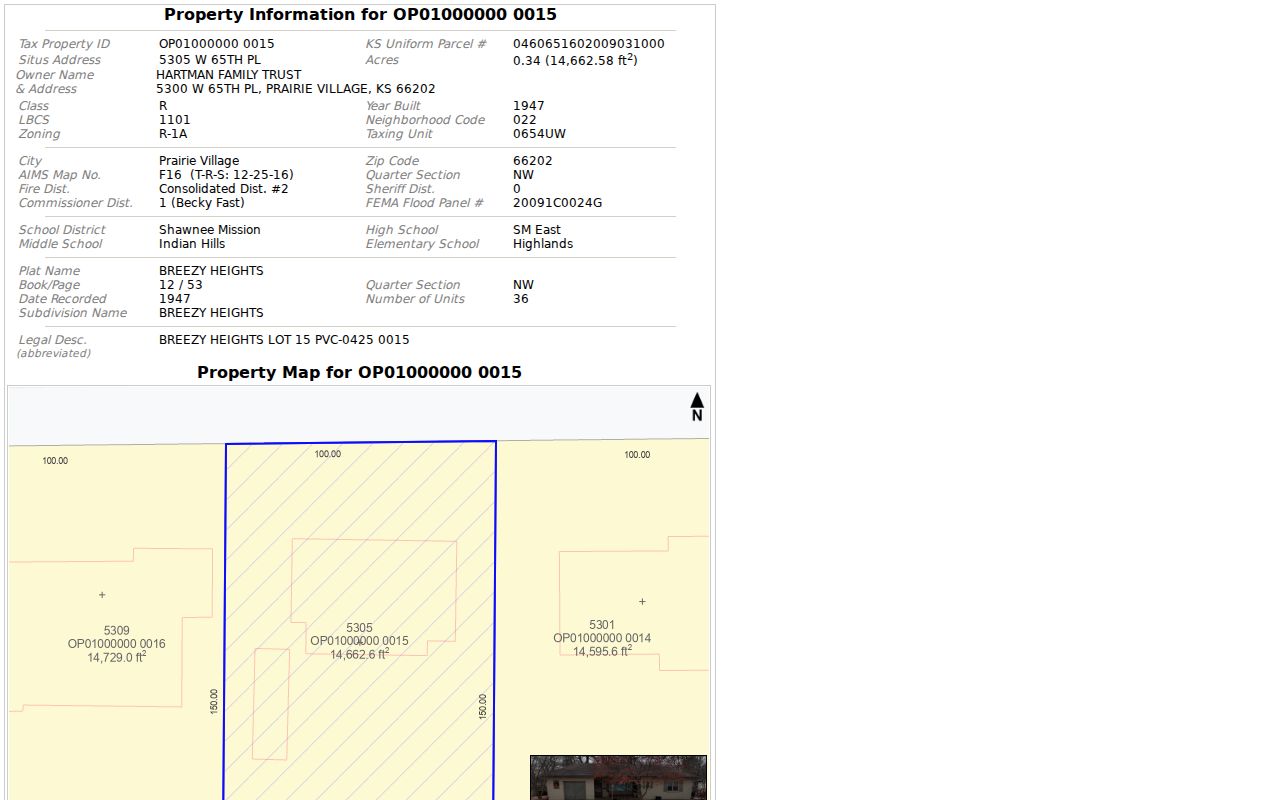
The capture shows why city and ZIP fields should remain side by side. A postal bulletin says the recommended last line for 66206 became Leawood after a branch change effective October 17, 2009, while the county parcel uses Prairie Village. Older directories may preserve either label.
If a ZIP code directory query fails under Prairie Village, repeat the address with the USPS-standard city. Keep the house number and street fixed. This tests a label change without merging two municipalities.
Prairie Village Parcels in 66207
An official Normandy Square parcel print places 5301 W. 84th Terrace in Prairie Village. It reports a 1962 year-built field, a 1961 plat recording, book/page 23/44, and 73 units. The Indian Creek postal station, by contrast, is in Overland Park.
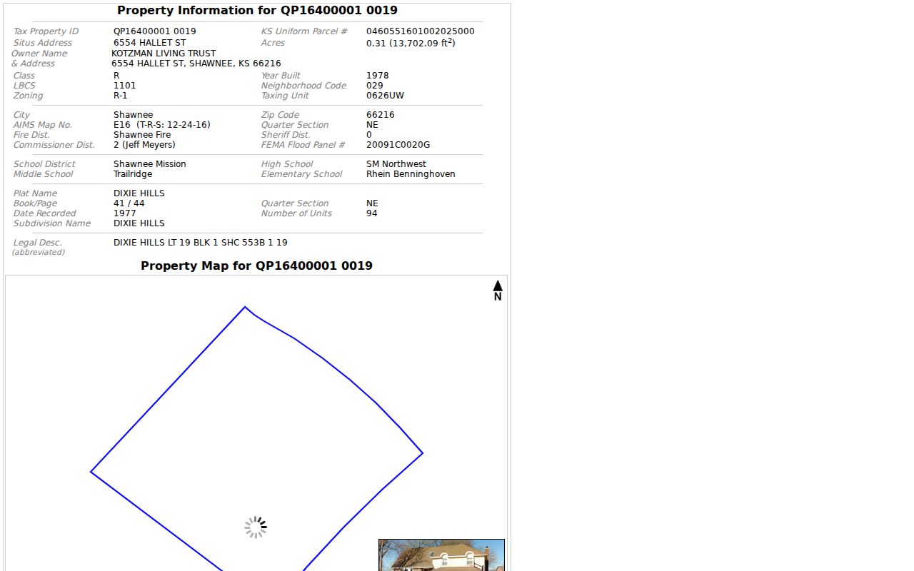
The image supplies direct county evidence for Prairie Village in 66207. A station address is not a municipal-boundary ruling. Normandy Square is also a subdivision, not a ZIP boundary, so inspect each parcel rather than assigning the same code to every address with that neighborhood name.
This distinction matters near the edge of a landlocked city. County maps, postal routes, associations, and school districts can divide the same area in different ways.
Prairie Village ZIP 66208 Anchors
ZIP 66208 has the clearest postal tie to the city. The Prairie Village Post Office is at 6917 Tomahawk Road, and official AIMS examples place Prairie Hills and Indian Fields parcels in this ZIP. One Indian Fields print uses 4211 Homestead as its local anchor.
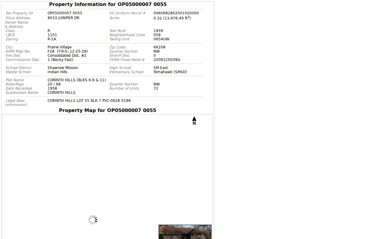
The print joins address, city, ZIP, plat, and district fields. That makes it stronger for boundary work than a free-form listing, though AIMS says compiled map data should be checked against primary records.
The post office lists retail hours of 8:30 a.m. to 1:00 p.m. and 2:00 to 5:00 p.m. on weekdays, plus 8:30 a.m. to 1:00 p.m. Saturday. Online address standardization remains the faster first check.
Prairie Village Postal Label Quirk
Prairie Village is surrounded by other cities, with State Line Road along the Kansas City, Missouri edge. County situs, postal last line, and neighborhood association can therefore tell different parts of one address story. Neither label should be silently changed to match the other.
The 66206 history offers dated proof. The ZIP stayed unchanged, but the Leawood branch closed in September 2009 and the place-name change followed in October. A deed mailing address, old directory entry, and new USPS result can describe the same parcel with different city words.
Keep both labels. Record the USPS last line and the AIMS municipal city separately, then date the search.
This simple habit helps family history and estate work. It also prevents a valid result from being discarded solely because one city word differs.
Prairie Village Postal Search Fields
The USPS ZIP Code Lookup offers three modes. By Address takes an optional company, required street, optional unit, required city and state, and optional ZIP. By City and State needs those two fields. Cities by ZIP takes the ZIP alone.
| Mode | Input | Useful answer | Cannot prove |
|---|---|---|---|
| By Address | Street, city, state | Delivery format | Current occupant |
| City and State | City, state | ZIP choices | City boundary |
| Cities by ZIP | ZIP | Accepted city wording | Every city parcel |
USPS warns that a match does not confirm a person or company at the address, and multiple matches can appear. Save the standardized form and date. Delivery labels can change while a county parcel remains in place.
Find Prairie Village Residents by ZIP
A ZIP code directory narrows the area, but AIMS supplies the municipal check. AIMS has an explicit ZIP search alongside address, owner, parcel, city, subdivision, neighborhood, and map extent. The basic tax search shows no ZIP field, so use the county map first when the code itself is known.
- Standardize the full address with USPS and save its last line.
- Search the ZIP in AIMS, then limit the view by city or map extent.
- Open the parcel print and compare situs, city, ZIP, parcel ID, and subdivision.
- Use the ID in the county property search, while keeping owner and occupant distinct.
- For voter status, use VoterView by name and birth date or its address polling-place route.
Once the search reaches a named road, the Prairie Village street directory provides the full address method. A ZIP-wide result may cross city limits and should never become a claimed roster of Prairie Village residents.
Note: No official ZIP-wide parcel, voter, household, or population total was found, so local count claims should be avoided.
Prairie Village Neighborhood Geography
City planning uses Suburban Neighborhoods, Traditional Neighborhoods, Village Neighborhoods, and Village Centers. These describe built form, not postal boundaries. Named plats such as Prairie Hills, Normandy Square, Corinth Meadows, and Indian Fields are also separate layers.
Keep the ZIP, neighborhood, and subdivision in separate fields. That method allows sound comparisons without assuming an association, plat, school zone, or mail route shares one border. Prairie Hills appears in a 66208 sample, Normandy Square in 66207, and Corinth Meadows in 66206. Those are verified search pivots, not blanket assignments for every nearby home.
This layered approach is especially useful when a directory search uses an old city label. The plat name may stay stable even after postal wording changes.
ZIP Codes Versus Prairie Village
ZIP Codes organize mail delivery. Prairie Village boundaries define city jurisdiction. ZIP+4 adds a smaller delivery segment. A carrier route groups delivery stops. A PO-box ZIP can serve boxes, while a unique ZIP may serve one high-volume organization. None of those terms means city limit.
- ZIP Code
- A five-digit USPS delivery area, not a municipal border.
- ZIP+4
- Four added digits that refine a delivery segment.
- Carrier route
- A set of stops assigned to one postal route.
- PO-box ZIP
- A code used chiefly or solely for postal boxes.
- Unique ZIP
- A code assigned to one large mail recipient.
For Prairie Village, verify address by address: USPS for delivery wording, AIMS for parcel geography, and the record custodian for the underlying file. No citywide USPS boundary file was located, so any exact coverage map needs a dated official source.