
Prairie Village Address History Sources
No single record spans the full life of a Prairie Village address. Use the newest source to identify the land, then shift to the source that fits the year. The era table separates ownership records from household evidence.
| Source | Years It Covers | Where Held | What It Shows |
|---|---|---|---|
| Register deed records | Index described from 1920 forward; online documents 1920-1987 | Johnson County Register of Deeds | Parties, transfer dates, instruments, legal descriptions |
| Cole reverse directories | 1985-2000 and 2001-present catalog listings | Johnson County Library, in branch | Address-keyed names and dated household clues |
| Polk directories | 1962-1964, 1997-2000, and later cataloged runs | Johnson County Library, in branch | Name, address, and printed household details |
| Federal census | Public schedules through 1950 | National Archives and library databases | Households, ages, relationships, and place details |
| Property abstracts | 1855-1985 | Johnson County Museum | Tract and ownership history across changing descriptions |
For a recent house history, begin with the county parcel card and deed chain. For the late twentieth century, add Cole and Polk. For an older tract, the Museum abstracts, Archives tax rolls, census, and state historical collections bridge years that the current address cannot reach.
Start Previous Residents with the Parcel
Enter the present address in the Johnson County property-tax search. Save the Quick Reference ID, parcel or tax ID, current owner, mailing address, physical situs, legal description, subdivision, and map reference. The situs is the actual property location; the mailing address is where the owner receives notices. They may differ.
Next, inspect the property through AIMS. Its parcel print can add a plat book and page, record date, year built, neighborhood, city, ZIP, and school or district layers. These details make it possible to follow the same land when the street label changes. The current name is only a starting point for previous residents, not the answer.
Walk Johnson County Deeds Backward
The chain of title is the sequence of recorded transfers for the same land. Build it from the current owner back, using the legal description as the control. A name match alone is weak because trusts, estates, businesses, and unrelated people can share names.
- Copy the current owner and full legal description from the parcel card.
- Find the deed where that owner appears as grantee, or recipient of the property.
- Record the grantor, instrument type, recording date and number, and the exact legal description.
- Search that grantor as an earlier grantee. Repeat while the parcel description still matches.
- At a replat, split, trust, or estate, inspect related instruments and the plat before continuing.
- Grantor and grantee
- The grantor gives an interest in land; the grantee receives it.
- Chain of title
- The linked sequence of recorded transfers for one property.
- Legal description
- The lot, block, tract, or survey wording that identifies land more firmly than a street address.
The Register's historical document library explains the available deed and plat layers.
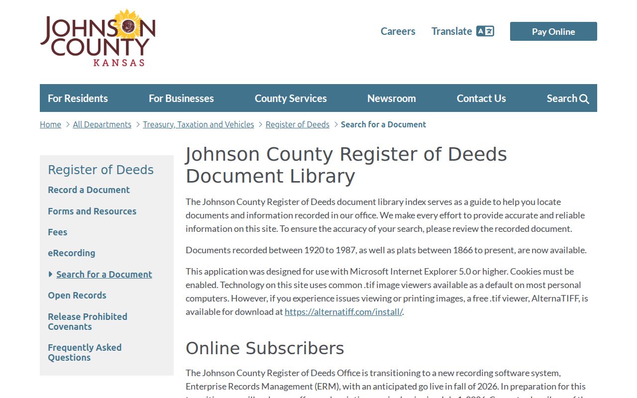
The published cutoffs tell you when to leave the web and use the public terminal, an office copy request, or an archival source.
Prairie Village Deed Access Cutoffs
The Register describes online documents for 1920 through 1987 and plats from 1866 forward. A different subscription description covered the land index from 1920 forward and linked document sets. Do not blend those statements into a promise that every image is online. The subscription service ended July 1, 2026 while a new electronic records system was expected in fall 2026.
The public terminal at 111 S. Cherry Street in Olathe is free. Copies cost 25 cents per page, and certification is separate. Email or office requests can obtain a deed copy. Johnson County Archives holds tax rolls from 1862 through 2007, and Kansas Historical Society identifies county deed series from 1857 through 1995. These channels keep the trail moving when an electronic index ends.
Prairie Village Abstracts Bridge Eras
The Johnson County Museum government-record collection includes Prairie Village property abstracts from 1855 through 1985. An abstract summarizes recorded events affecting a tract. It can connect an early farm description with a later subdivision lot, which is vital in a city largely built and incorporated during the postwar period.
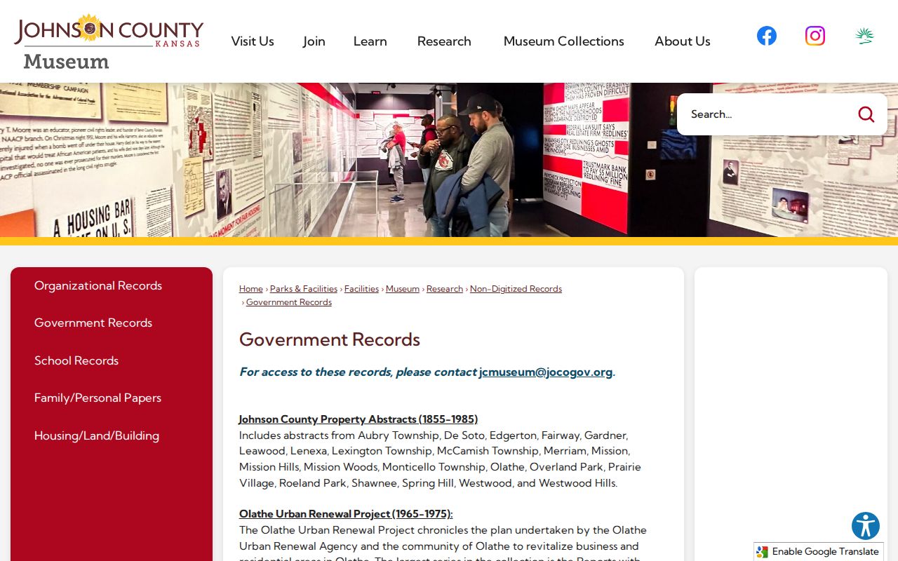
The Museum holds more than 3,000 cubic feet of nondigitized records and accepts research visits by appointment. Ask for the address, tract, subdivision, and likely years. That narrow request is more useful than asking for every person with one surname.
Plats Date Prairie Village Neighborhoods
Recorded plats explain why a modern address may disappear in early records. AIMS samples show Prairie Hills recorded in 1950, Indian Fields in 1953, Corinth Meadows in 1955, Somerset Acres West in 1956, and Normandy Square in 1961. Earlier deeds may describe a farm tract rather than the later street, lot, and block.
Save each plat's book and page. Compare the subdivision boundary with the older legal description, then resume the deed chain on the parent tract. No official citywide street-renumbering schedule was located. If an old number fails, check a directory from the same year, the plat, and nearby street entries instead of guessing.
One Prairie Village House in Voices
The All-Electric House offers a local model for enriching an address trail. It originally stood at 4602 Homestead in the Indian Fields area. Johnson County Museum oral histories include former owners and neighbors, with transcript routes through JoCoHistory. Interviews and photos can explain daily life that a deed cannot show.
Use an oral history as attributed memory, not as a substitute for title evidence. Match its address and dates to the parcel, plat, directory, newspaper, and recorded deed. That layered method turns past occupants into a documented house story while keeping fact and recollection distinct.
Confirm Prairie Village Past Households
Deeds identify owners, but previous residents also include relatives and other occupants. Johnson County Library catalogs Cole address-keyed volumes for 1985 through 2000 and a later series listed from 2001 forward. Polk holdings include a Mission-area run from 1962 through 1964 that expressly includes Prairie Village, a 1997 through 2000 county run, and later regional listings. The collection details are covered on the Prairie Village city directory page.
Pair sources in a set order:
- Check the address in the closest available reverse or surname directory year.
- Copy every printed name and notation, then compare the volume before and after it.
- Search the public census schedule nearest that period, using county, street, or enumeration district when Prairie Village is not indexed as a place.
- Use the library's obituary file, JoCoHistory, newspapers, probate, and cemetery sources to explain a move, death, or estate transfer.
The National Archives publishes census schedules through 1950 under the 72-year rule. The 1950 Kansas census search supports name and location work.
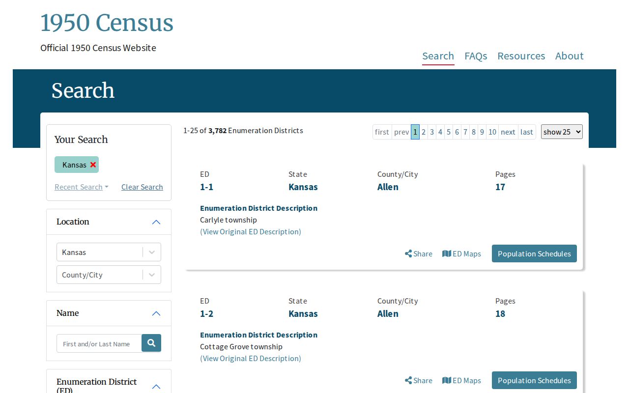
Because Prairie Village incorporated in 1951, search Johnson County, township, street, and enumeration-district clues when the city name does not appear as expected.
Does a deed prove who lived there? No. It proves a recorded land interest. A directory, census, obituary, or oral history supplies separate evidence of occupancy, and even those sources may omit people.
Lawful use. Research previous residents for house history, genealogy, heirs, or personal curiosity. Do not use address records to track, expose, harass, or threaten a living person.